Mediterranean Campaign Map
Mediterranean Campaign Map
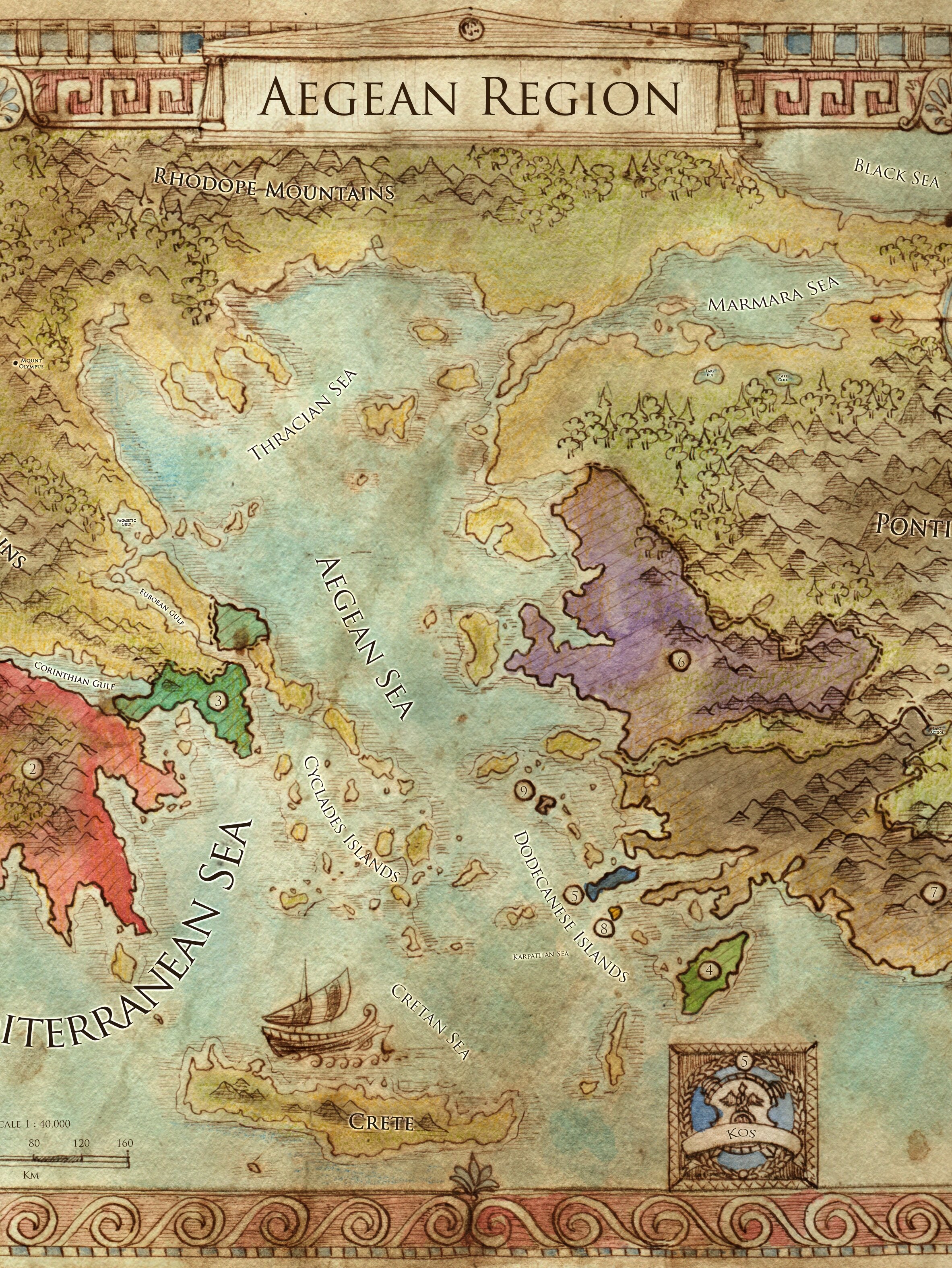
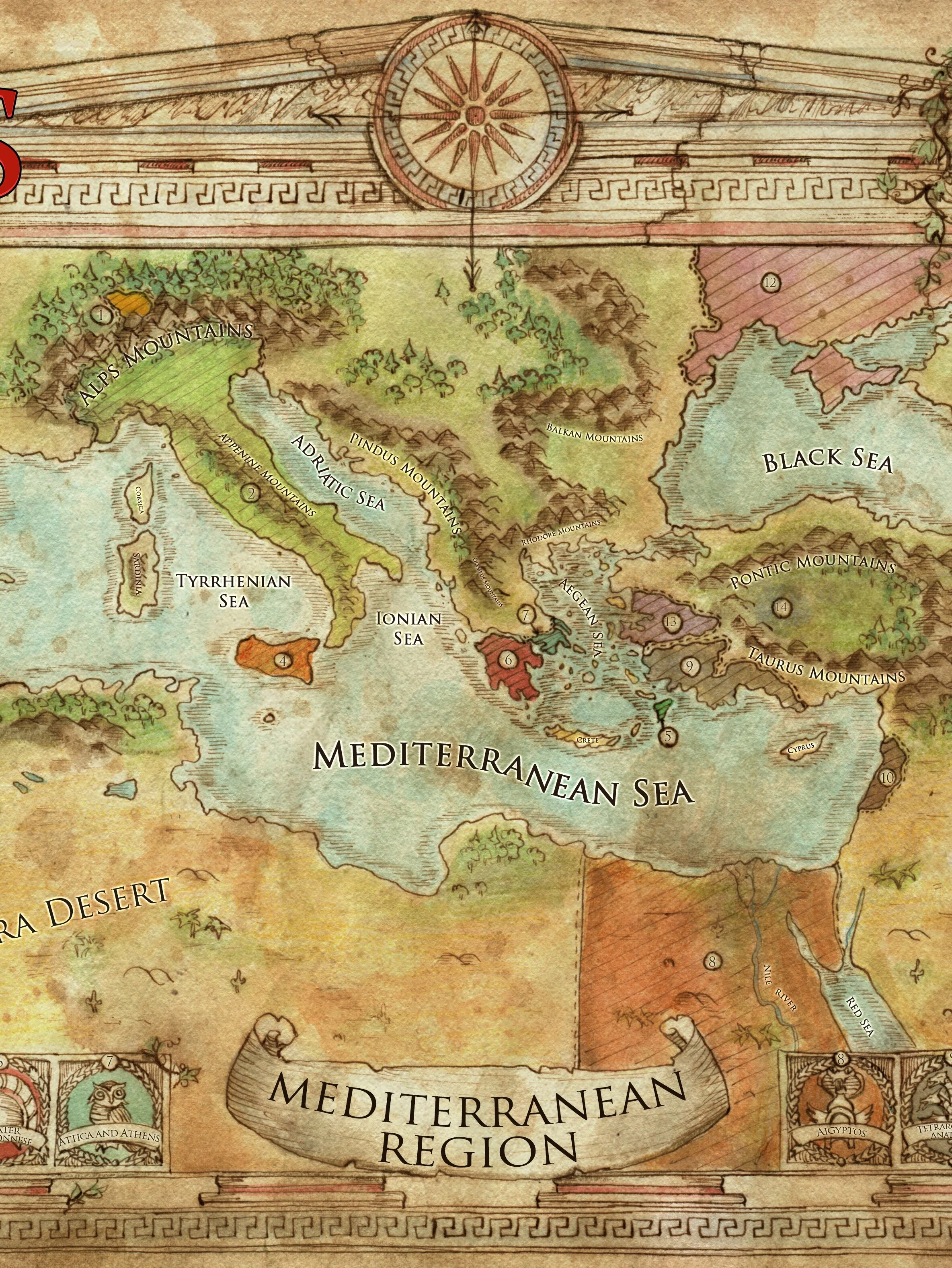
Sail the wine-dark seas with this Mediterranean Campaign Map that depicts the lands surrounding the sprawling body of water! It is provided as a high-resolution JPEG that can be printed out in any standard paper sizes and is suitable for use with any fantasy or alternate history games set in this area, including the Swords of Kos Fantasy Campaign Setting. It was created by acclaimed fantasy artist/cartographer Francesca Baerald.
This map is bounded by the Black Sea and central Europe in the north, the Persian Gulf in the east, North Africa in the south, and the Pillars of Herakles and the Atlantic Ocean in the west. States represented on the map, both with political boundaries and their national symbols, include Aigyptos, Amazonia, the Tetrarchy of Anatolia, Attica and the city state of Athens, Çatalhöyük, Gades the City of the Dead, the Kingdom of Lydia, the Magocracy of Mesopotamia, the Greater Peloponnese, the Republic of Rhodes, the Republic of Rome, the Grand Redoubt of Trinacria, the Kingdom of Tyre, and the Syndicracy of Zueri.